
- Home
-
Admissions
-
Academics
-
Students
-
Research
-
Research Centers
- Cancer Research Center
- Center for Excellence in Development Disabilities Education, Research & Service (CEDDERS)
- Center for Island Sustainability (CIS)
- Marine Laboratory
- Micronesian Area Research Center (MARC)
- UOG Land Grant | agInnovation Research Center
- Water and Environmental Research Institute (WERI)
-
Programs and Departments
- Guam EPSCOR
- Guma' Tinemtom - Micronesia Data Laboratory
- Pacific Islands Climate Adaptation Science Center (PI-CASC)
- Pacific Islands Cohort on Cardiometabolic Health (PICCAH)
- Research Corporation of UOG
- RFK Memorial Library
- UOG Press
- UOG Sea Grant
- University Libraries Digital Team
- NASA Guam Space Grant
- NASA Guam EPSCoR
-
Research Centers
-
Outreach
- Giving
- Alumni
-
About
In the News: Researchers showcase tools to make collecting environmental data faster at UOG conference
In the News: Researchers showcase tools to make collecting environmental data faster at UOG conference
In the News: Researchers showcase tools to make collecting environmental data faster at UOG conference
4/14/2025
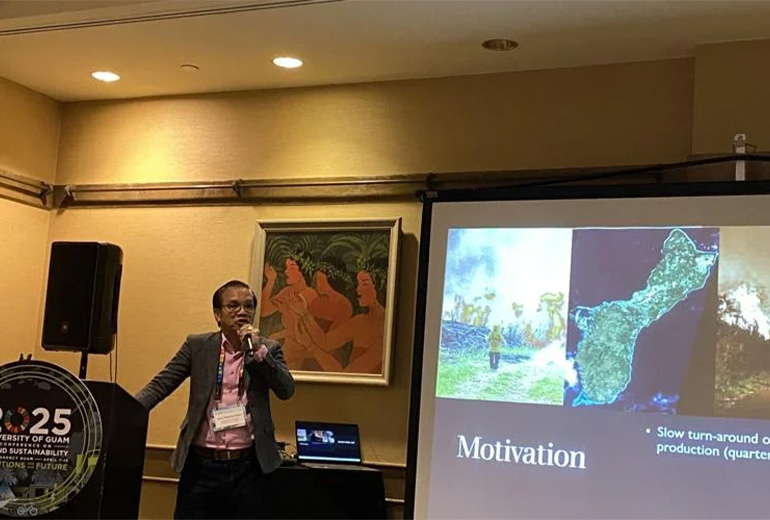
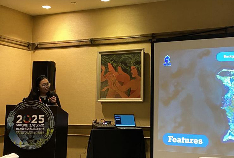
Researchers at the University of Guam are localizing environmental mapping tools to make it easier and faster for local agencies to collect information on natural resources such as burnt grasslands and watersheds.
During day four of the UOG Conference on Island Sustainability, “Thriving Natural Resources’” was one of the topics emphasized during breakout sessions held throughout the afternoon where speakers touched on existing terrestrial mapping tools.
One of the speakers, UOG Geography Assistant Professor Jose Edgardo Aban, discussed how the UOG Geography Program utilizes geographic information systems (GIS) and satellite remote sensing technology to determine the effects of forest fires on the environment.